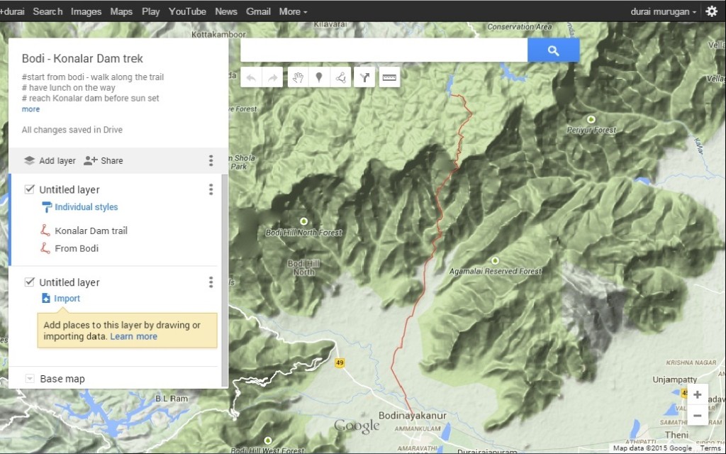
Exploratory treks are always exciting and especially when you are put to face surprises and encounters it makes the journey even more interesting and memorable. I always have an eye on the Google maps zoomed towards the western and eastern ghats trying to indentify beaten trails and exploring possible trekking routes connecting peaks and interesting valleys. One such peek into the Google map took me to the trekking trail connecting Bodi to konalar dam in the palani hills. Trail in the map was extremely clear and well marked providing me a strong belief that definitely this trail would have been used by the locals to reach the hills. Marking the trails and loading the terrain map onto our GPS device we were all set to explore this ‘Online trail’.
Connecting to the ‘Online Trail’:
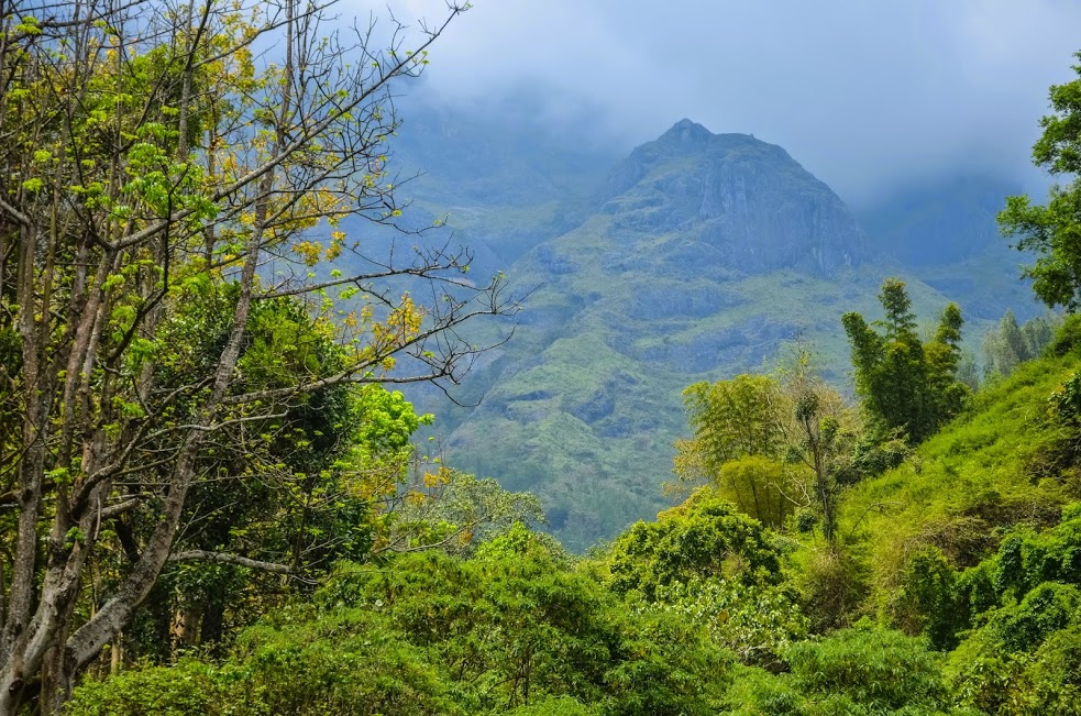
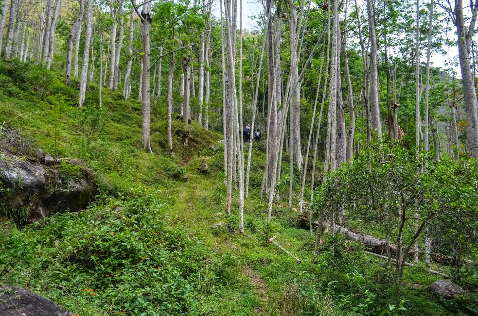
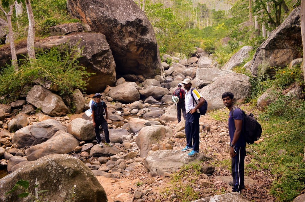
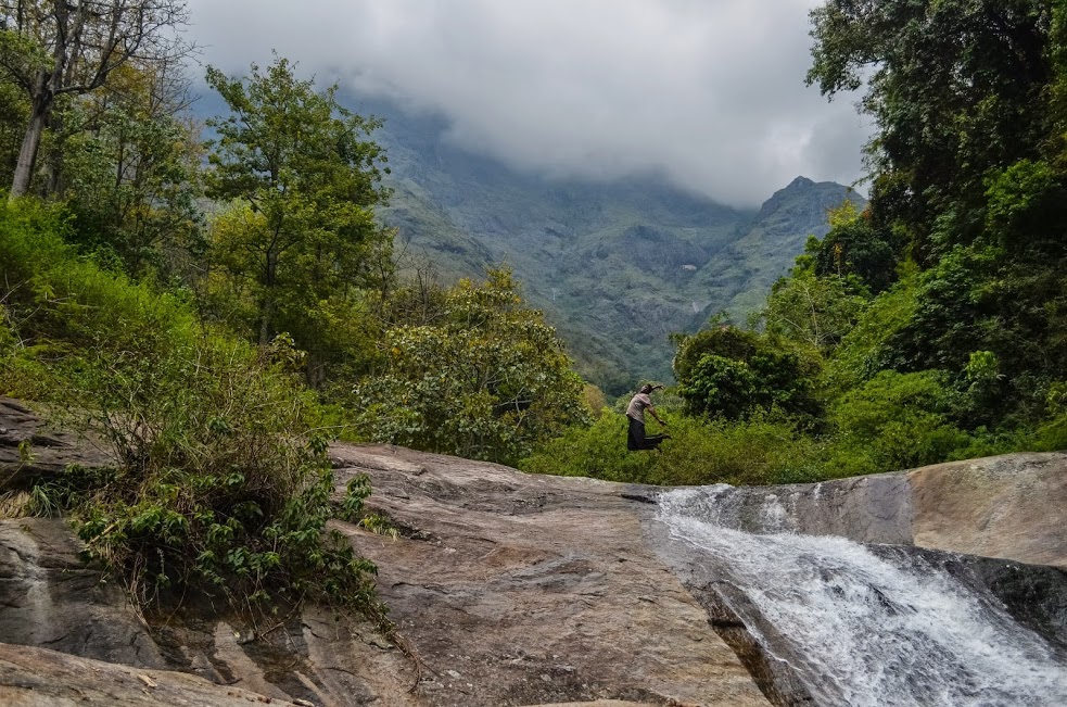
GPS took us dot on to the trail marked on maps and we were surprised by the advancement of technology. Bodi hill is a strikingly beautiful place packed with farms and plantations on the foot hills of western ghats. The cold stream water flowing down from the hills are used for cultivating plants and crops at base. Initially we were welcomed by mango farms and streams, and soon we entered into cotton tree plantations. We crossed the streams, walked through plantations and jumped over rocks, but slowly plantations were replaced with tall trees, bushes and grasslands. After 3 hours of trek inside we stopped near a stream to take a dip and refresh ourselves and it was only 5 of us inside the forest and thought it was going to be a perfect exploration.
Facing the big boy at a striking range:
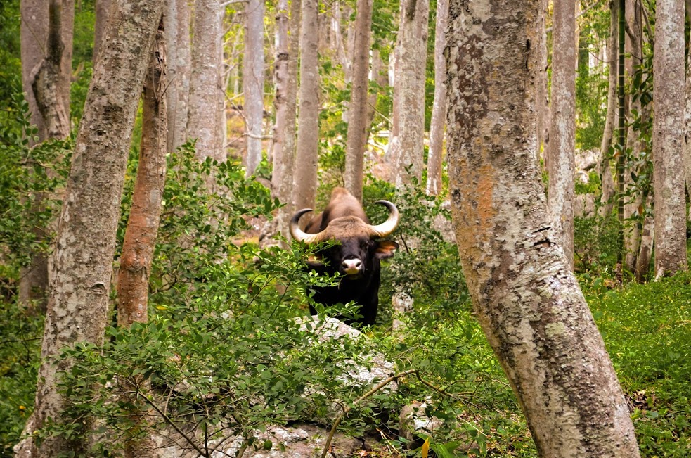
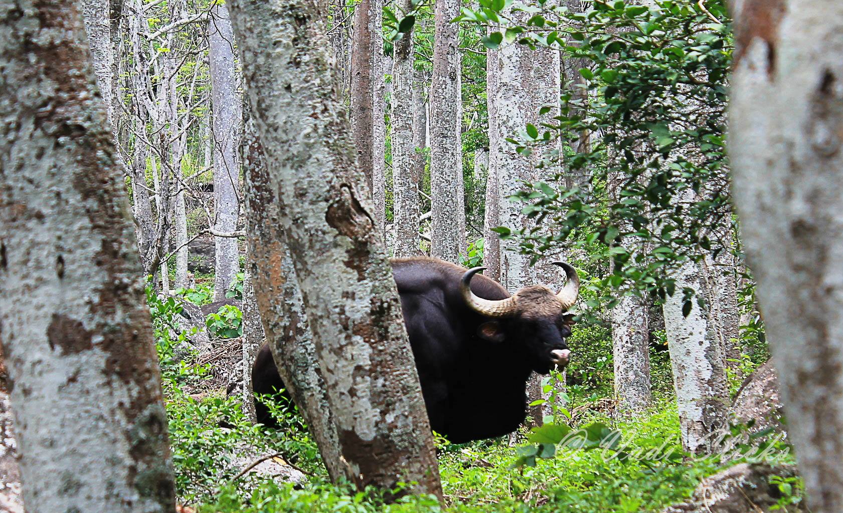
Three hours passed and we were perfectly walking on the trail guided by maps and that’s when we bumped into a big rock, slowly we climbed the rock to take some pictures that’s when we saw the well built big boy of the forest, a full grown wild gaur at a very close striking range. Initially we panicked as to what to do and how to proceed since it was blocking our progress and standing on the path. Left with no option we were holding onto the same place for some time for it make way for us but it appeared that it was determined to stay there for longer period therefore, decided to climb the adjacent ridge and walk along it for a while and come back to the trail after crossing the place where the gaur was grazing. We were set for all kind of adventures but did not realize that we will be experiencing surprise on the trail itself. I will always remember the first intruding look of this gaur, the manner in which got altered and created its boundary and the manner in which it starred at us.
Was it the End of ‘Online Trail’ and for exploration to begin?
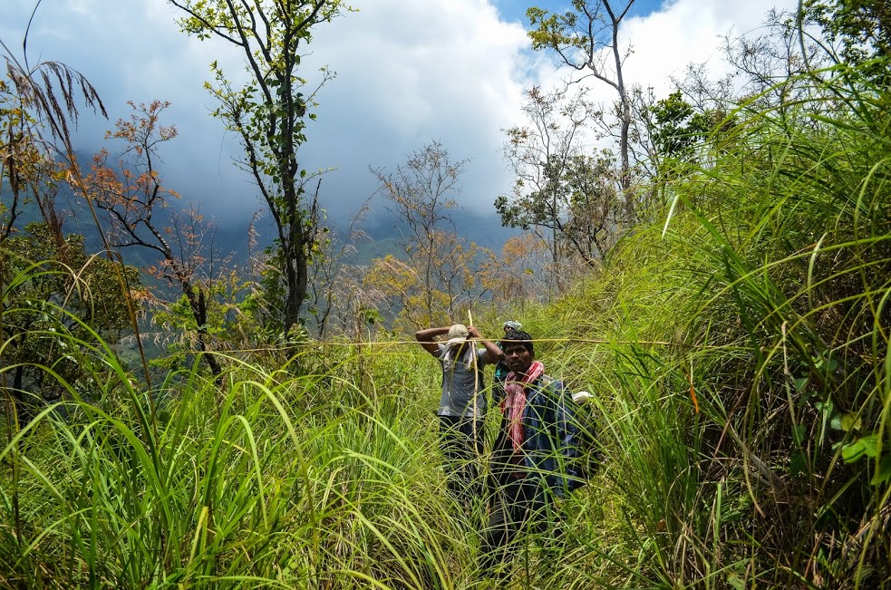
Almost 8 kms into forest on the marked trail we marched into grasslands, entire forests suddenly appeared to be a land of lemon grass. The grasses were as tall as 9 feet leaving us with no scope to understand the trail ahead and where are we heading towards. We had to break through the grasslands and marched ahead as a single team since the visibility inside the grasslands was very thin. The grass had sharp edges and at times they did not spare our skin and left us bleeding. After the stiff encounter inside the grasslands we managed to reach the ridge and this marked the end of the ‘Online trail’ and from here we had only two options either to trek inside the plantation or to trek along the ridge to reach flat land above. It was at this moment I realized how misleading google maps could be and the vast difference between navigating trails on internet and actually on foot. What appeared on the map was not there in reality.
An endless hike on Ridges till Sunset:
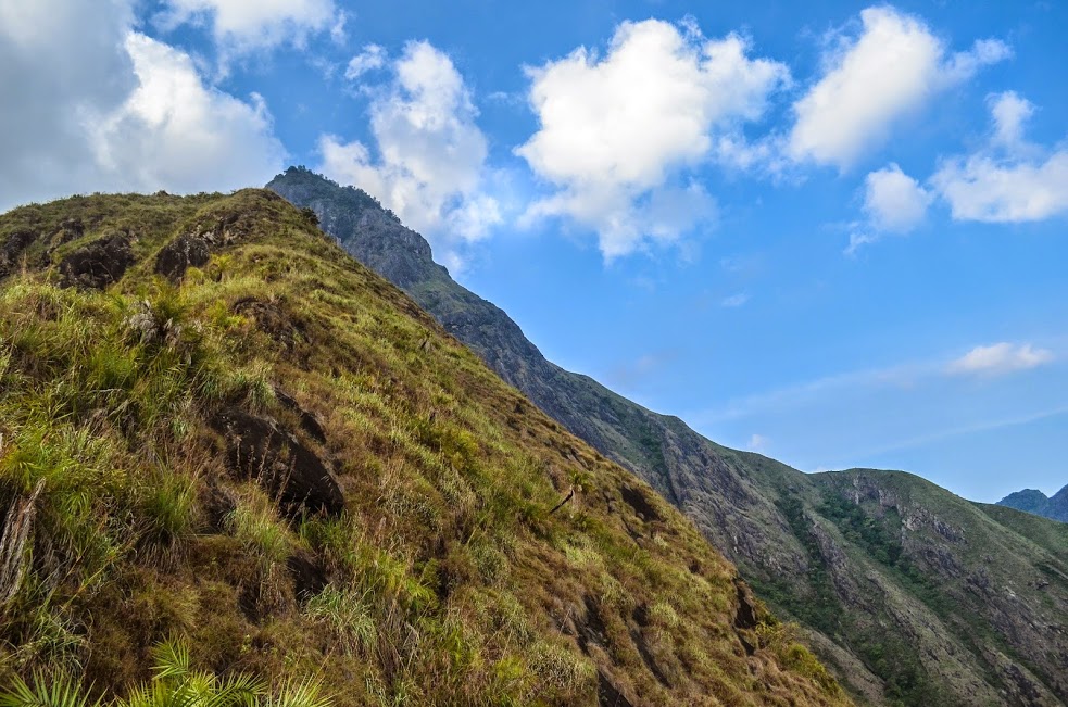
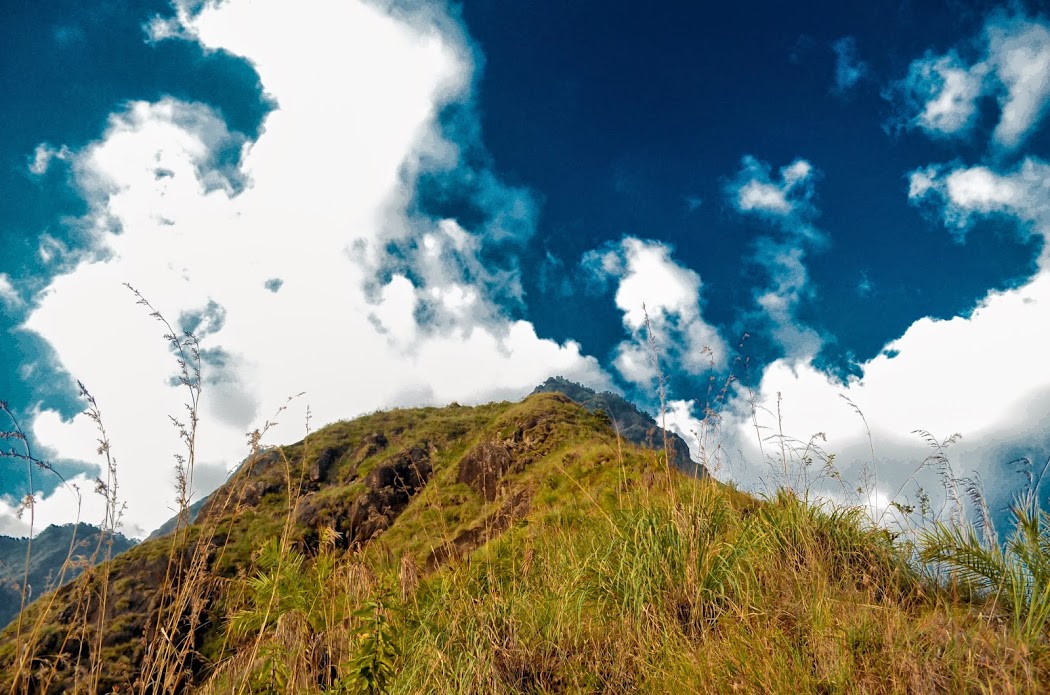
As a thumb rule we always preferred walking along the ridges rather walking inside the vegetation simply to avoid being struck inside the bushes and being pierced by thorns and sticks. Although we ran the risk of running short of water we took the ridges with the hope to reach konalar dam. The ridges were very steep and the terrain was uneven but steadily we kept our pace and marched ahead unto the foot of a humongous peak which was naturally formed out of single piece of rock. One of the biggest rock based peak I have hitherto witnessed although we were stunned by its majestic appearance and admired its beauty there was no clue as to how to climb this peak or by pass it to reach konalar dam.
Sun slowly started to settle down for the day into the mountains and we were forced to take quick decision between camping on the ridge exposing us to cold breeze and chill night or to move inside the vegetation. Finally, we decided to climb down and reach a lonely hut inside the forest and camp on its veranda.
Rain lashed night and savior hut:
After reaching a lonely hut we cooked our dinner and started gazing at the star-filled sky and the views of the Bodi town which was sparkling with electric lights. Suddenly, climate turned cold and the flow of breeze became fast and before we could set up our camp it started pouring heavily as if the clouds were banging on the mountains and emptying all the water it carried into the valley. We had no option except to take shelter in the abandoned forest hut. The hut was our savior from the cold rain water and chill weather; it poured cats and dogs almost the entire night while we were trying to catch up sleep listening to the loud thunders. After few hours I forgot all the happenings outside and went into a deep slumber. We woke up in the morning to witness that the valley had mushroomed with numerous waterfalls which was not there the previous day. It was a spectacular scene to witness the valley full of waterfalls.
Searching for the ‘Online Trail’:
What started as a mission to reach konalar dam now stood as a mission to indentify the ‘online trail’ or to explore a new trail to reach our destination. The ‘online trail’ took us only into bushes and exposing us to more injuries and absolutely we were not progressing as there was no evidence of any trail and with yesterday’s experience we have clearly learnt that the ridges will take us only to the base of the peak and nowhere else. We tried to follow the stream, we tried our luck climbing the steep rocks and finally we had to give up our attempts in the afternoon since we could not find out a way to navigate and reach konalar dam. After scores of attempts we called off our mission as unfinished and reserved to explore the hills well prepared and better next time. May be an attempt to trek down from konalar dam to bodi could throw us some light about the whereabouts of this hidden ‘online trail’. Mystery engulfed us and we enquired with the local villagers and everyone uniformly informed us that there was never a trail and it is impossible to trek and reach konalar dam for the innumerous obstacles they narrated which included the grasslands, steep ridges, thorny bush land and finally even if we manage to cross them all the humongous piece of steep rocky peak which the locals felt was impossible to make it through foot. However, I am still not convinced with their defenses and am convinced that sometime soon I will explore this bodi hills and reach konalar dam through foot.
The two days trek in search of the ‘online trail’ has taught me many lessons and more than that I stood amazed at the beauty of this lovely forest, felt healed bathing on its streams, understood the real life challenge when struck inside the grasslands, gazed at the majestic peaks and admired the beautiful valleys. I always consider it as a god sent opportunity to take this kind of wonderful journey into the mountains where my heart forever wants to be.
Happy Trekking,
Durai Murugan
